The Best Family Hikes in Sedona and Scottsdale
Hiking in Scottsdale
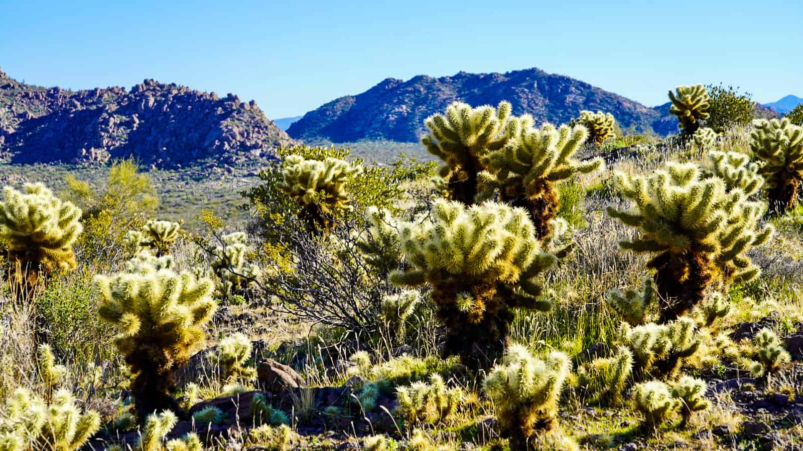
If you are traveling to Scottsdale, you're probably itching for some sunshine. Scottsdale has numerous hiking trails, but fair warning: look up the temperature ahead of time, and go early in the day if possible. East coasters -- I know you think you know heat, but until you’ve experienced Arizona dry heat, you may be in for quite the surprise. It goes like this: January is “cool” (70 degrees, so probably warm hiking, but not unsafe), April is hot (80-90 degrees, but will feel hotter hiking high elevations), and summertime is like a sauna (stay inside).
My favorite time of year to go to Scottsdale is April, because it’s cool enough in the morning to enjoy a hike, and warm in the afternoon to relax by the pool. Here's where you can find some great hiking options:
- Pinnacle Peak - walkable from The Four Seasons Scottsdale (15 minutes), and has expansive views of the valley. The trail is well marked and worn in, but be prepared for a hilly climb.
- Tom’s thumb: This hike offers similar views of the valley, but is higher in elevation than Pinnacle Peak.
- Browns Mountain: From here, you can see views of Pinnacle Peak Mountain. The trail is easy and flat for the first half; we did not do the whole loop, but instead went up a side trail on Cone Mountain to see the valley. It had a steep section at the end, so good walking shoes and walking stick are recommended.
Hiking in Sedona
Simple Trails Through Cresencet Moon Park
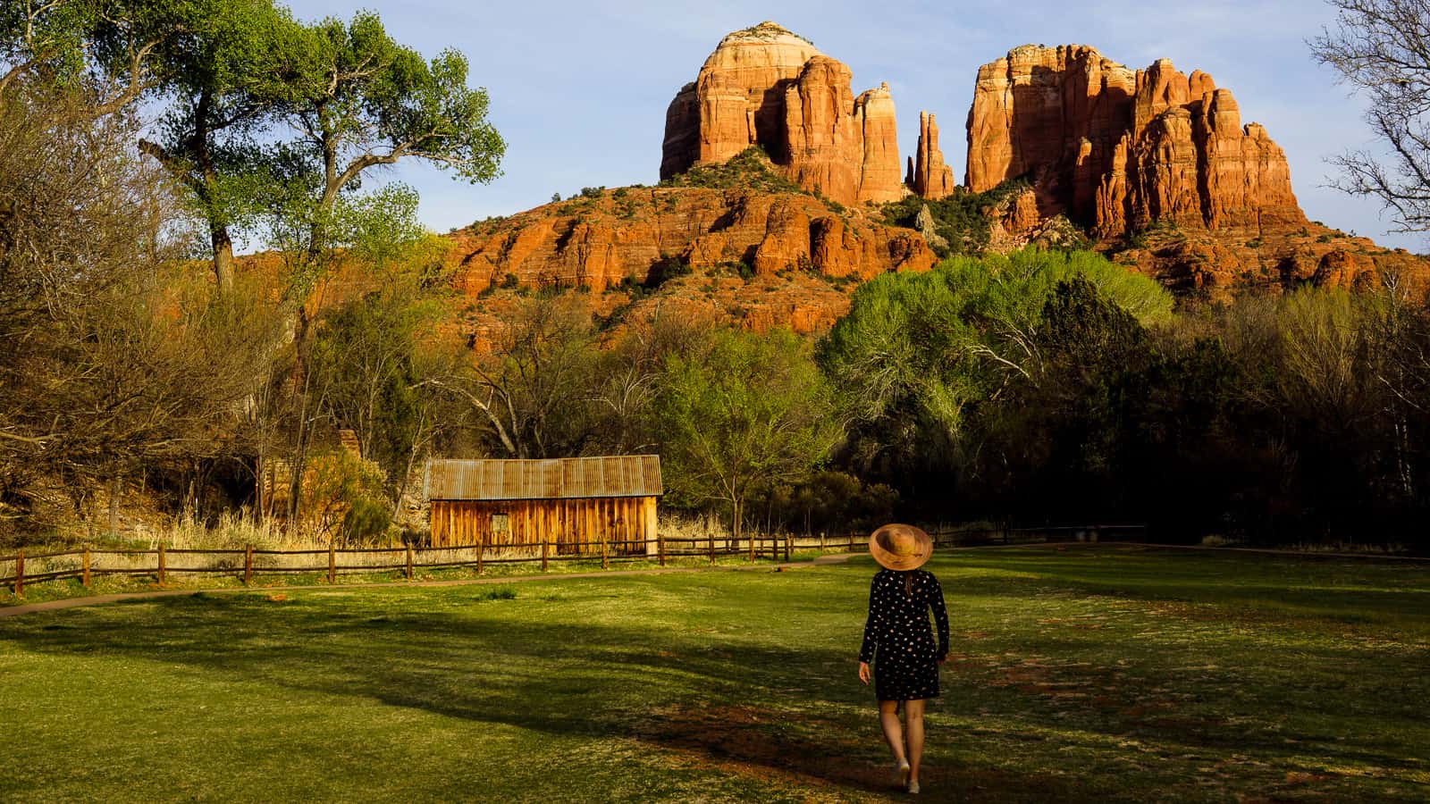
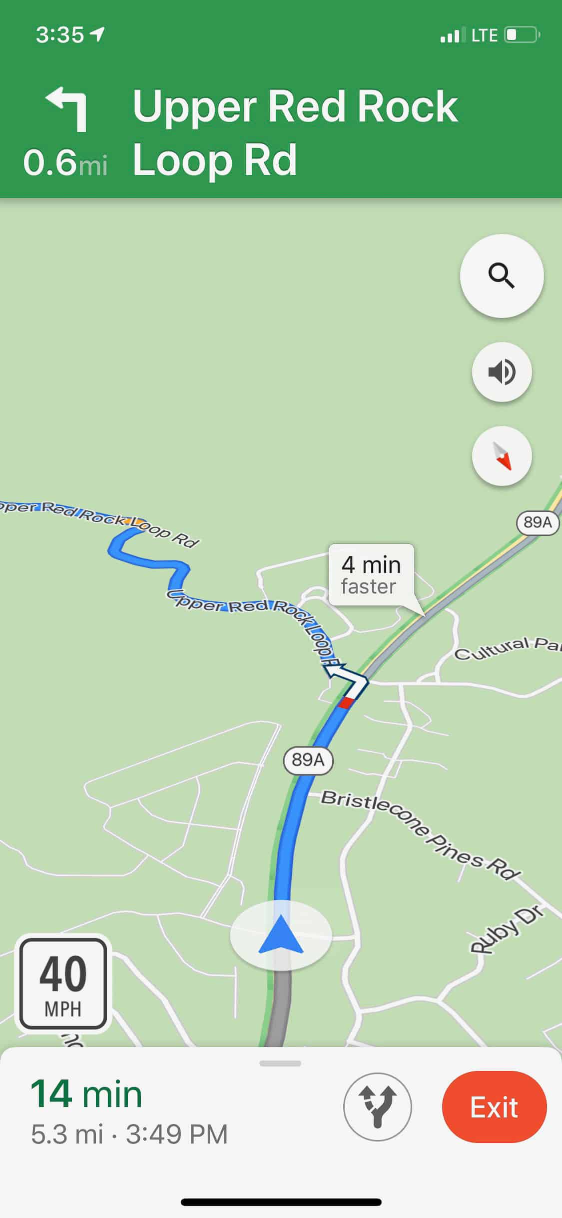
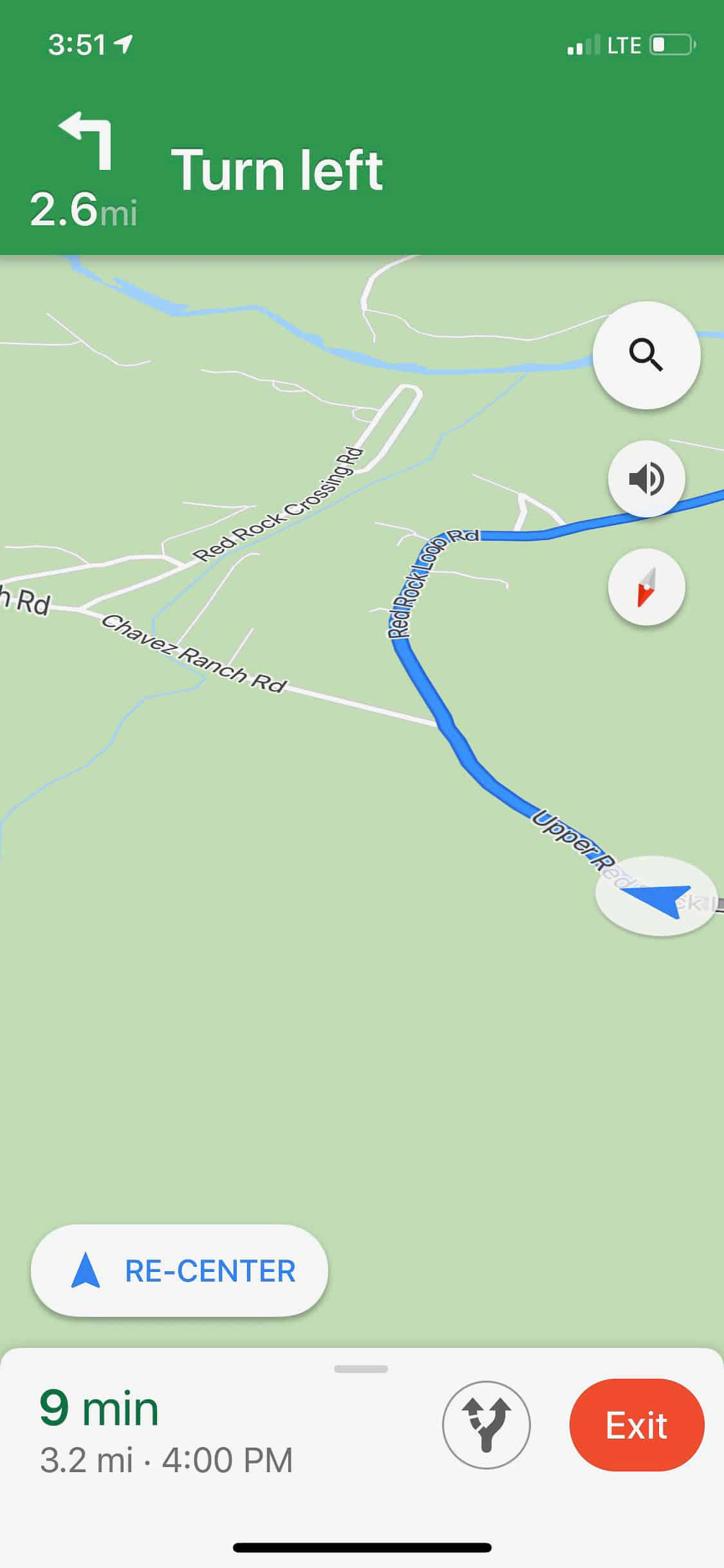
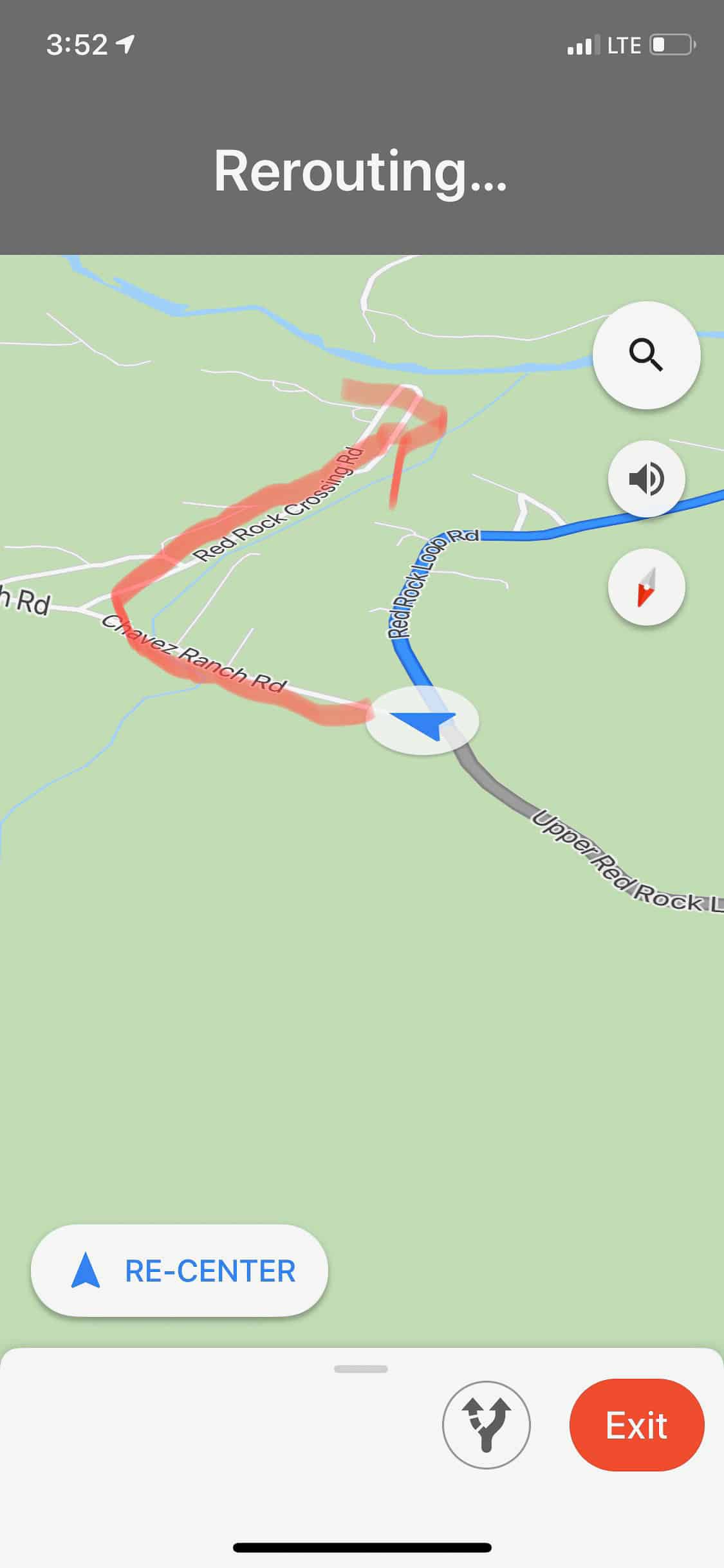
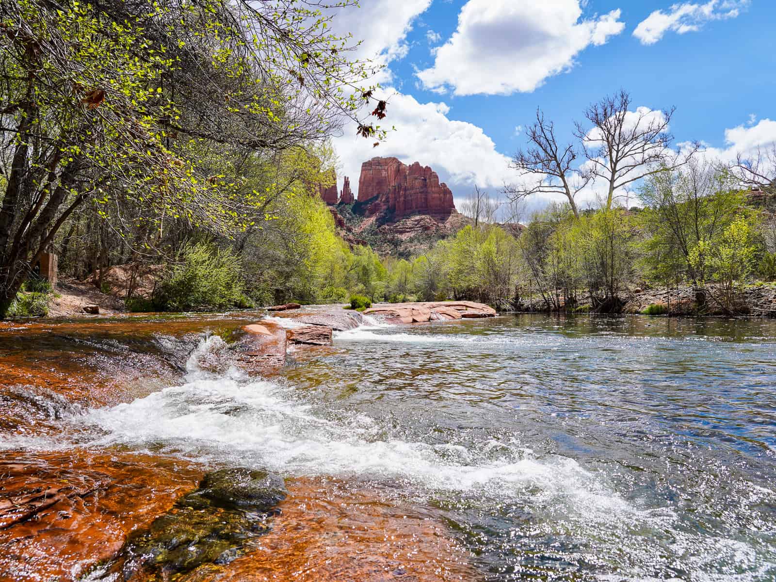
Cathedral Rock is one of the most popular hikes in Sedona, but if you're looking to photograph it (not climb it), head to Crescent Moon Park. Even though this perspective of the red rock beauty is one of the most photographed formations in the area, the park was not the easiest to find. See my screenshots below to help guide you -- it was well worth the adventure!
To get there:
- Drive west from Sedona on US 89A
- Turn left onto Upper Red Rock Loop Road
- Google maps may have you continue along this road, but you want to veer left onto Chavez Ranch road
- Right on Red Rock Crossing Road.
What's there to do?
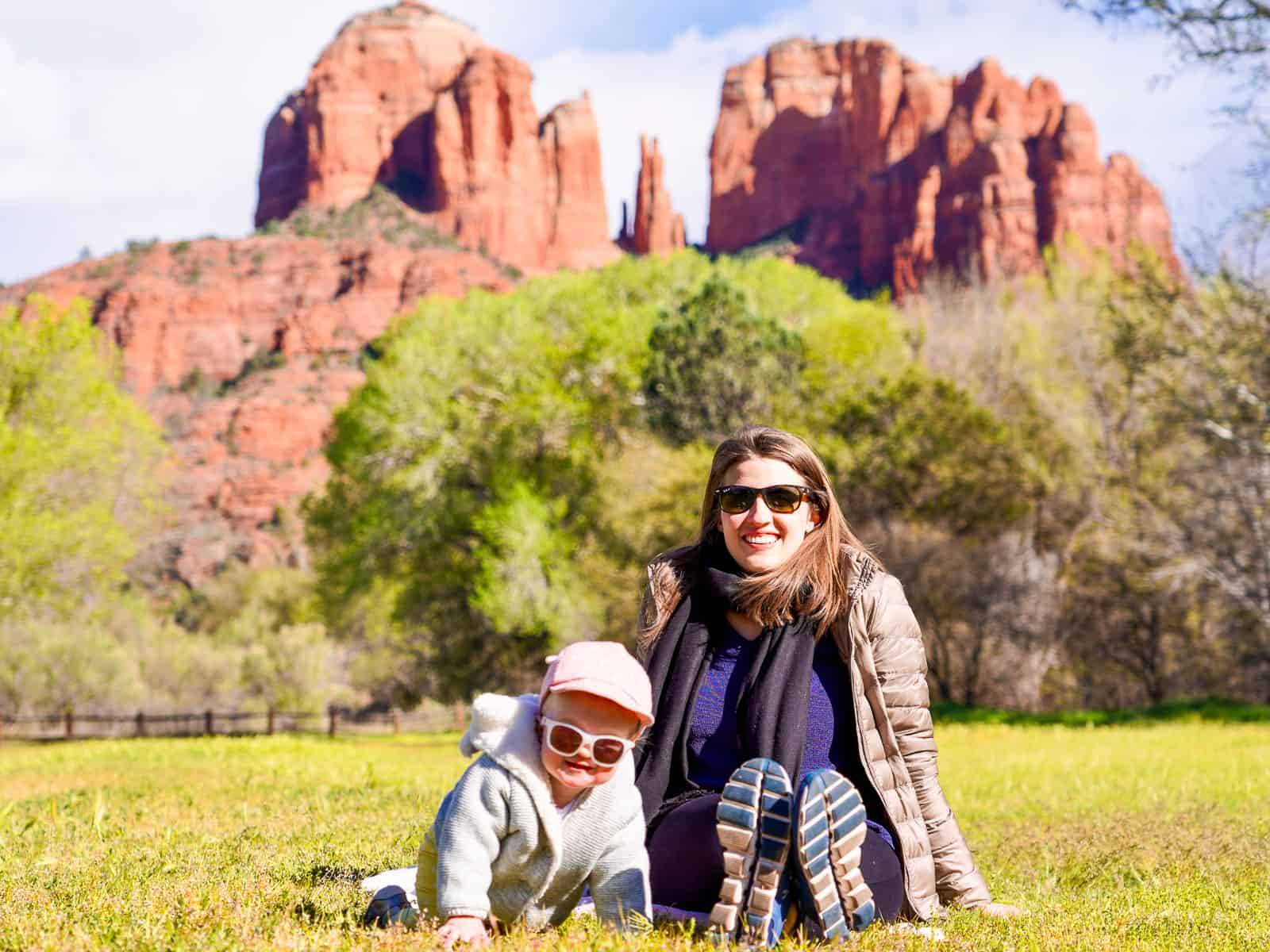
This park is welcoming and perfect for all types of travelers. If you need a spot to have the kids run around and burn some energy, come here. If you're up for a scenic and easy walk, head on down. Or, if you'd just like to lazily lay on a rock next to the stream, you can do that too. In warmer months, it may be possible to swim.
As previously mentioned, the view of Cathedral Rock from the park is one of the most photographed viewpoints in Sedona, and it's worth a visit during sunset. If you want to capture the scene, research the sunset time beforehand, and head to the park 1 hour before that designated time. The views on the drive down are also beautiful, and you'll want to leave yourself some time to snap some photos along the way. Once you arrive at Crescent Moon, it would be a good idea to explore the park and scope out the view that speaks to you, before the sunset show begins!
Solider’s Pass Hike
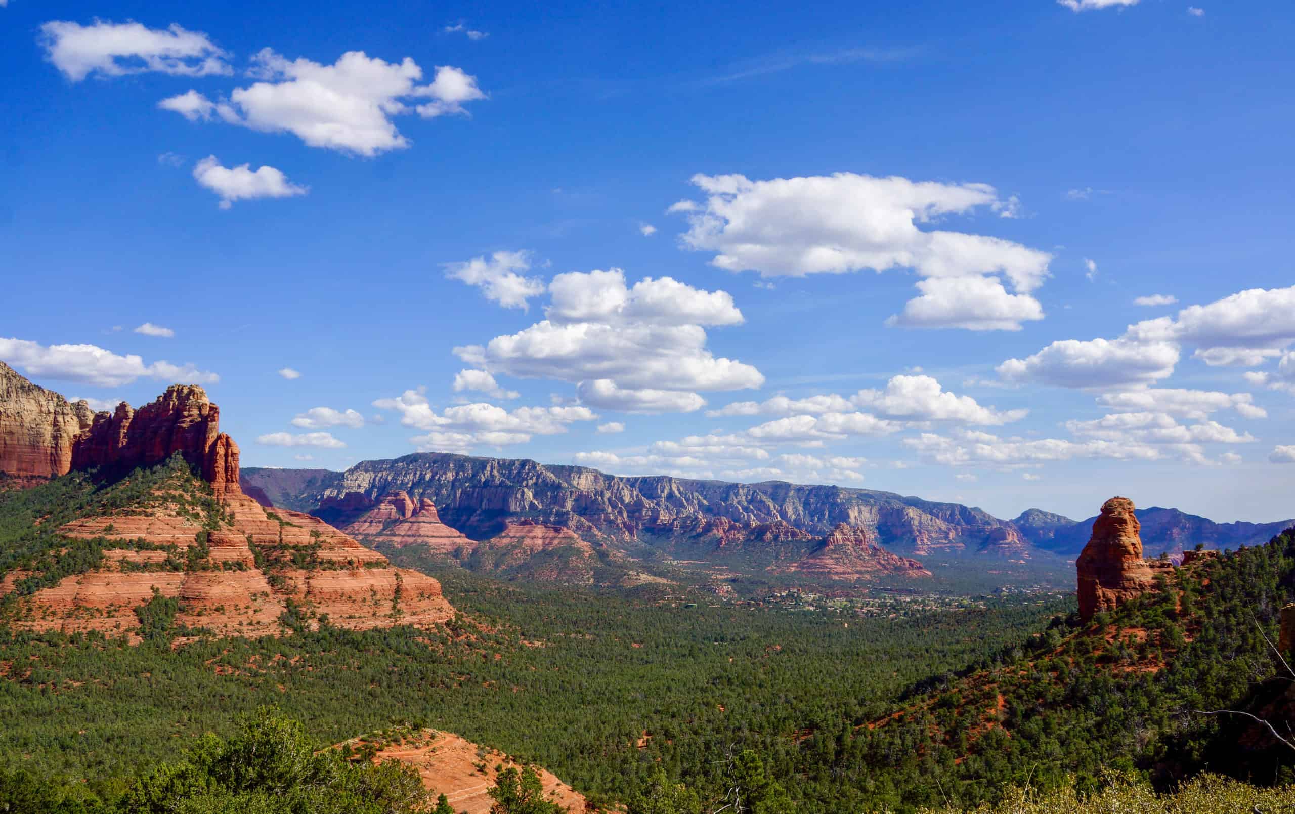
This is one of my favorite hikes -- not only in Sedona, but one of my favorites in the world! You're surrounded by layers of red rock, revealing thousands of years of history. Sometimes it felt like I was on Mars (with slightly more trees). Plan to be outside all afternoon (it took me about 4-5 hours to complete), and here’s what to know before you go:
- Pack a lunch and plenty of water. We stopped at Whole Foods for our snacks, which was on the way. You will get hungry out there!
- Parking is limited. First we tried Trailhead parking lot, but had no luck. We ended up driving back through the residential area (can’t park there), and retraced our steps to Soldier’s Pass Road. We parked on the side of that road, and hiked back to the trail. It adds about an extra 10-15 min walking.
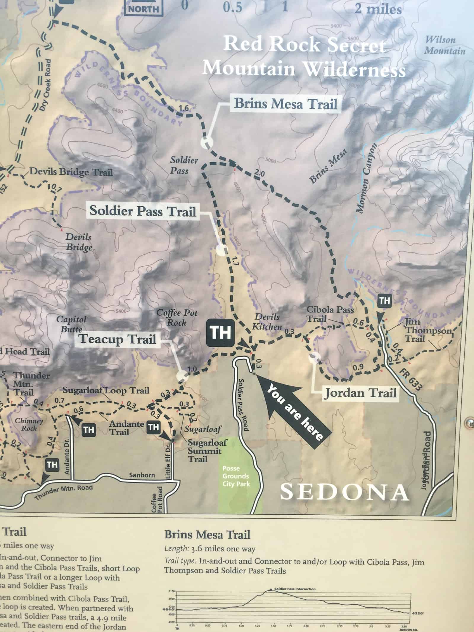
- It’s a loop, but follow my lead: When you start the trail you’ll want to head in the direction of the sinkhole (there are signs) and 7 pools, then make your way to Brins Mesa, and then follow that path around to the Jordan trail. Despite my dragging feet, it was worth it to see each breath-taking view around every corner. Warning -- there is a steep climb to Brins Mesa, however, if you hike the other direction instead, you will have an even steeper climb to complete! Trust me, this hill ain’t nothing compared to the reverse climb. Here’s a map to help navigate the trails.
Start gathering your future travel ideas now! Sign up to receive exclusive travel itineraries and tips.

